The
site for the Australian Apollo station was a 14 acre radio-quiet location surrounded
by granite peaks in the Australian Alps, 32km SSW of Canberra, Australia’s
national capital.
The
area is now part of the Namadgi
National Park.
|
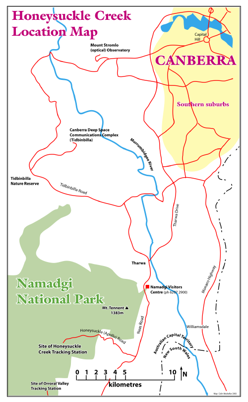
Honeysuckle Creek Location Map
Click
the image to download an 80kb PDF. |
Site Selection for the Apollo station – Searching for Honeysuckle
|
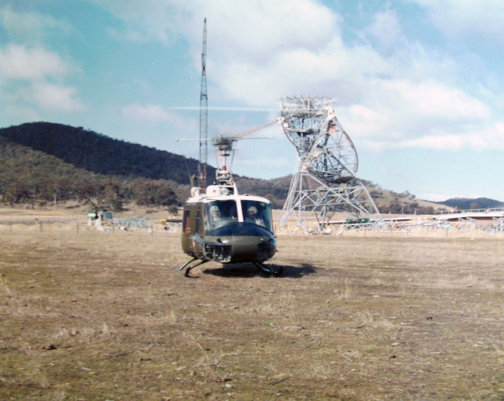
The DSS-42 Tidbinbilla dish is under construction in August 1964 when a Royal Australian Air Force Bell Huey stops by to pick up WRE team members.
Two Hueys were used to scout out a site for the Apollo station which was eventually built at Honeysuckle Creek.
Photo: Dick Collins. |
|
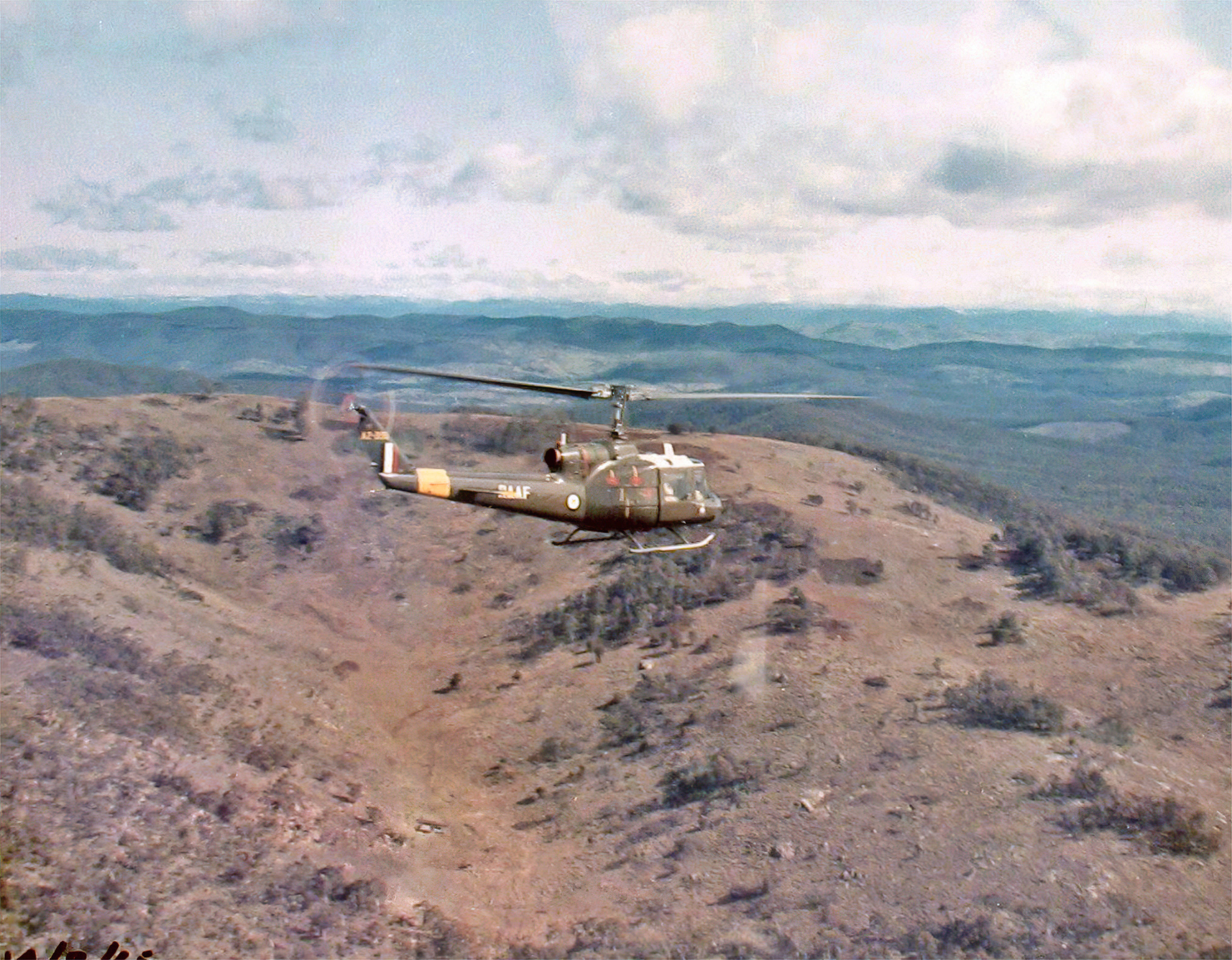
Two Hueys head out from Tidbinbilla over the Brindabellas, in the direction of Honeysuckle Creek.
Dick Collins (WRE) and his boss Lance Sharp (WRE) with NASA rep. Hugh Fletcher were passengers in the chopper from which this photo was taken.
Photo: Dick Collins. |
|
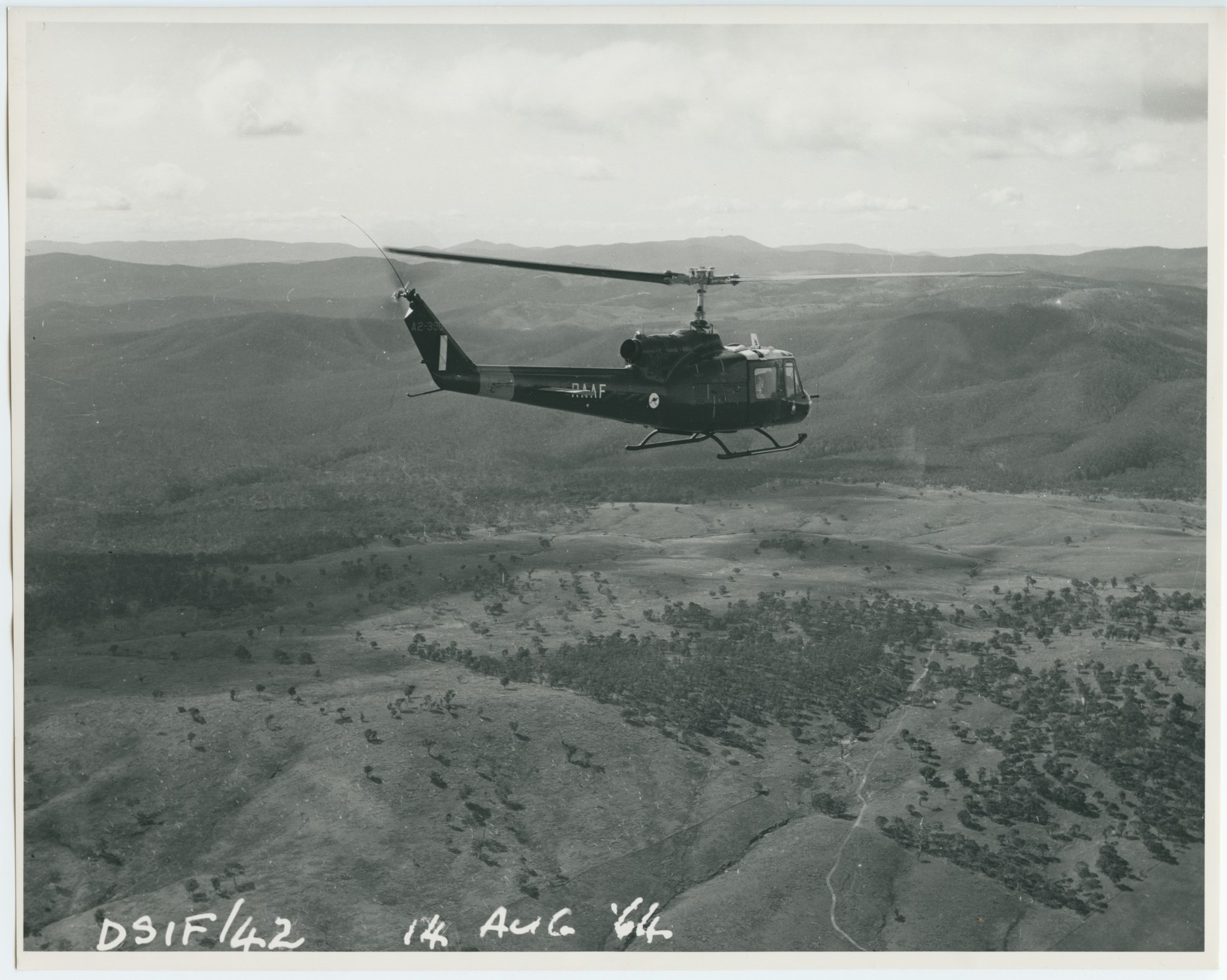
Here’s another photo, apparently from the same flight,
14th August 1964.
Photo via Mike Dinn. Scan, Colin Mackellar. |
Initially, possible sites were selected after exhaustive studies of topographic maps, but visits were difficult, since many were in rugged terrain.
WRE’s Dick Collins explains how the helicopter survey flights came about:
“Purely by chance, Hugh Fletcher our NASA rep. had a personal friend, a pilot in the US Air Force, who was on detached duty with the RAAF at Fairbairn – the airfield which served both civil & military personnel.
Hugh mentioned the quest to his friend, who in turn apparently mentioned this to the CO [Commanding Officer]. He kindly laid on this formation exercise. We were picked up, as you can see in the Tidbinbilla Valley, where the dish was under construction.
Prior to that flight, we did drive to Captains Flat to investigate a valley nearby selected as a suitable Apollo site from topographical maps, but this was overruled.” (e-mail, 17 September 2012.)
Dick Collins is apparently referring to Ballinafad Creek, an area about 9km south of Captain’s Flat, a small town about 42km SE on Canberra City.
In the 1880s, Captain’s Flat was established as a centre for gold and copper mining. The mines closed by the 1920s, and the population dwindled. It is currently around 600 people.
|
Ballinafad Creek runs through forested country about 9km south of the small town of Captain’s Flat.
This photo from the Tidbinbilla archives was taken on 28 September 1964, apparently from one of the Royal Australian Air Force Bell Hueys.
Scan: Glen Nagle. |
|
Ballinafad Creek from the south.
From the Tidbinbilla archives. Scan: Glen Nagle. |
|
The town of Captain’s Flat, looking east, as seen from the helicopter.
From the Tidbinbilla archives. Scan and ID: Colin Mackellar. |
According to a 1990 interview with Lance Sharp (WRE Facilities), the “Captain’s Flat” (i.e. Ballinafad Creek) site was found to be open to RF interference from Queanbeyan.
Mike Dinn also recalls hearing that Prime Minister Menzies desired that the tracking stations be located in the Australian Capital Territory.
One might imagine the first steps on the Moon being brought to you through Ballinafad Creek! (The original Ballinafad is a village in County Sligo, Ireland.)
|
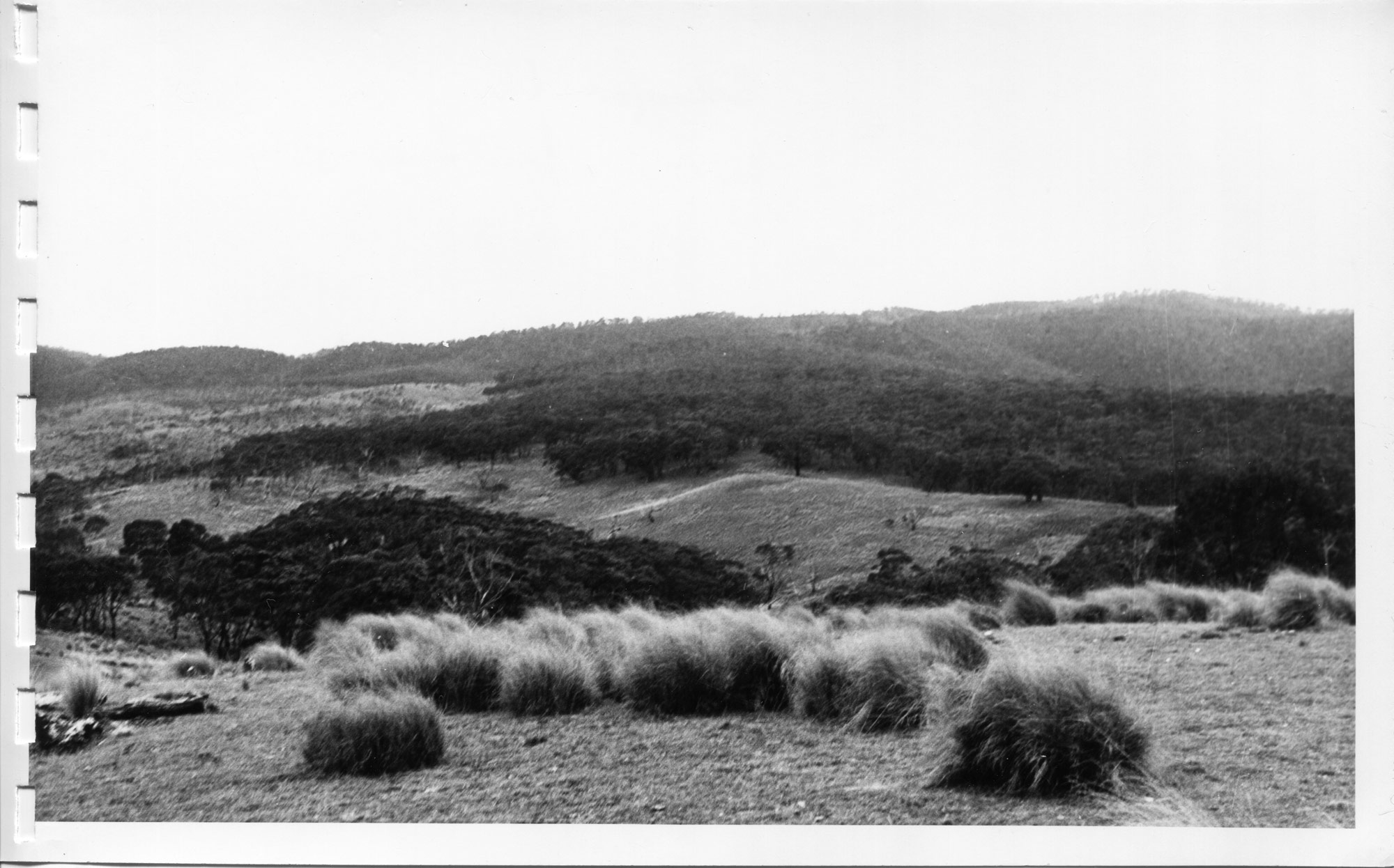
Another site considered was Blue Gum Creek, somewhere to the north of Booroomba Rocks, only five or six kilometres north of the final Apollo site at Honeysuckle Creek.
This helicopter view shows a cold winter scene probably looking west or southwest.
From the Tidbinbilla archives. Scan: Glen Nagle. |
|
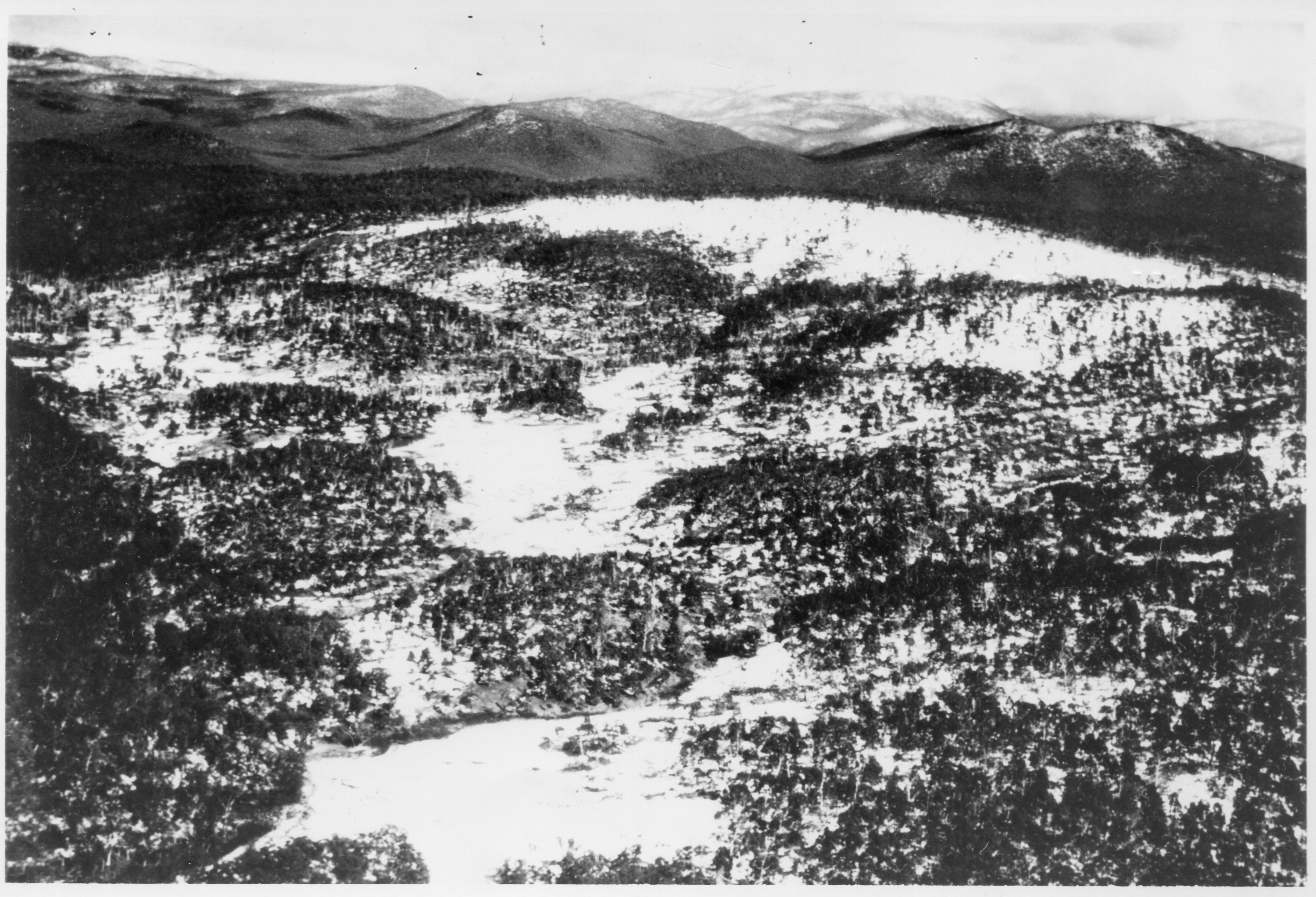
A number of possible sites were visited. This photo shows survey work at “The Hollow” in September 1964.
From the Tidbinbilla archives. Scan: Glen Nagle. |
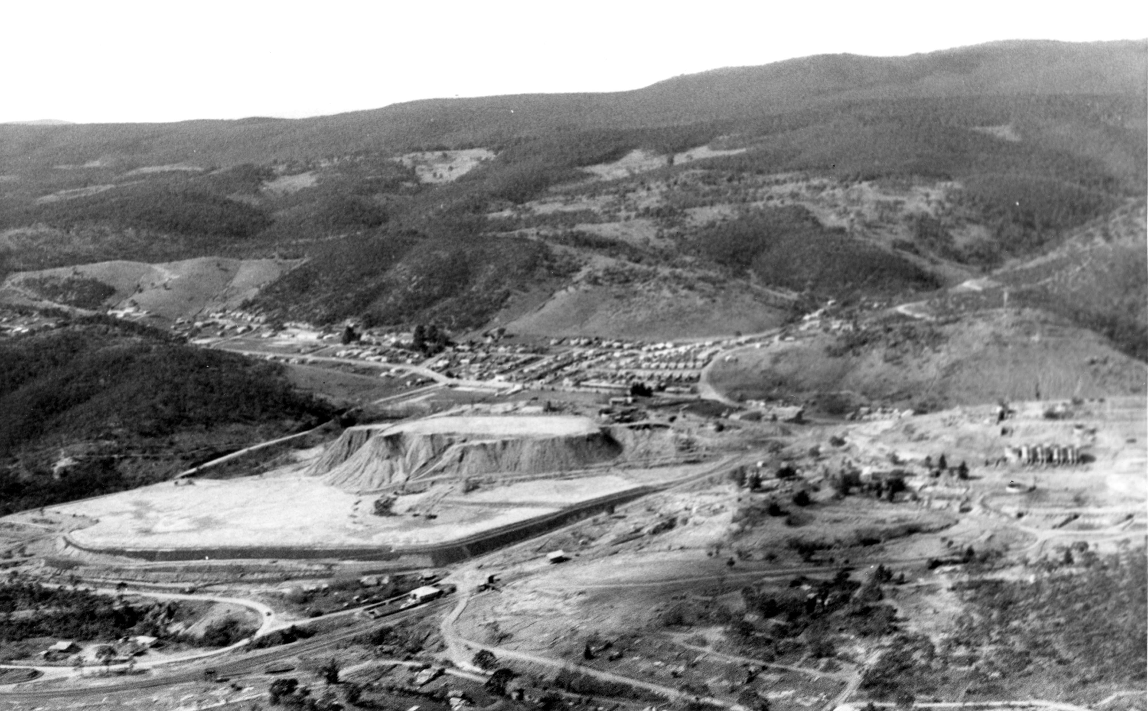
The site for the Apollo station was selected by a joint WRE/NASA team in 1965. The land was acquired from Mr Richards in September 1965 as notified in Gazette No. 80, 7 October 1965, (Source: R.E. Leslie, Space Tracking Stations, Engineering Australia.), though work on the site had begun in late 1964.
|
This October 1965 WRE map shows the locations of the three NASA tracking sites in the Australian Capital Territory.
It was produced for WRE by Richard (Dick) Collins, who participated in the site survey for Honeysuckle Creek, and early work on planning the station.
Orroral Valley is marked as DAF – i.e. Data Acquisition Facility.
Also marked are 41 Jardine Street, Kingston, which was a Department of Supply Office, and Endeavour House, on the corner of Canberra Avenue and Captain Cook Crescent, Manuka (the main Dept of Supply office).
Red text added to this small preview. Large, Larger.
With thanks to Dick Collins. Scan by his daughter, Jo Allen. |
|
Before the Tracking Station – the peace and
quiet of the Australian bush.
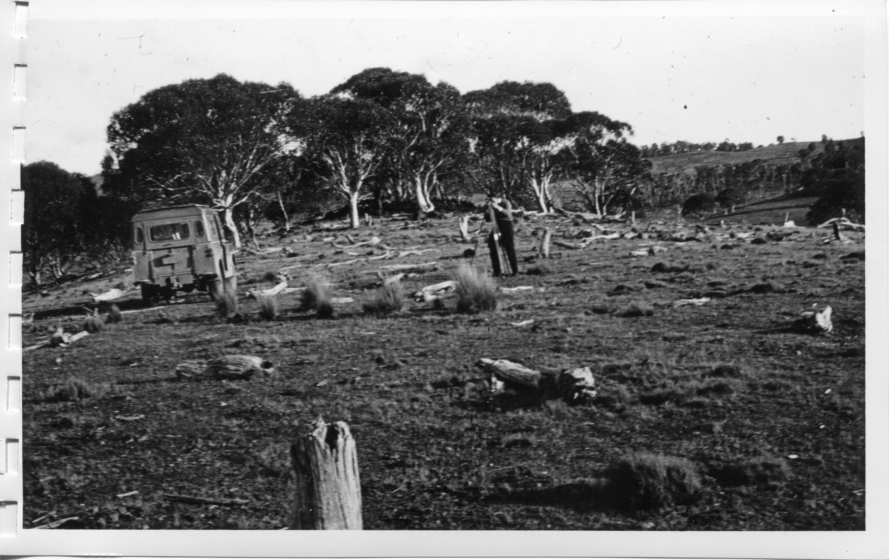
This photo, by an unknown photographer, may have been taken
during initial surveying of the site. The picture is looking at an azimuth
bearing of 226 degrees 24 minutes as it is looking almost exactly at the
location of the Coll Tower from the antenna.
[Update: The photo is dated 23 June 1965.]
Photo scanned by and info from Hamish Lindsay.
Updated 2020 scan by Colin Mackellar. |
|
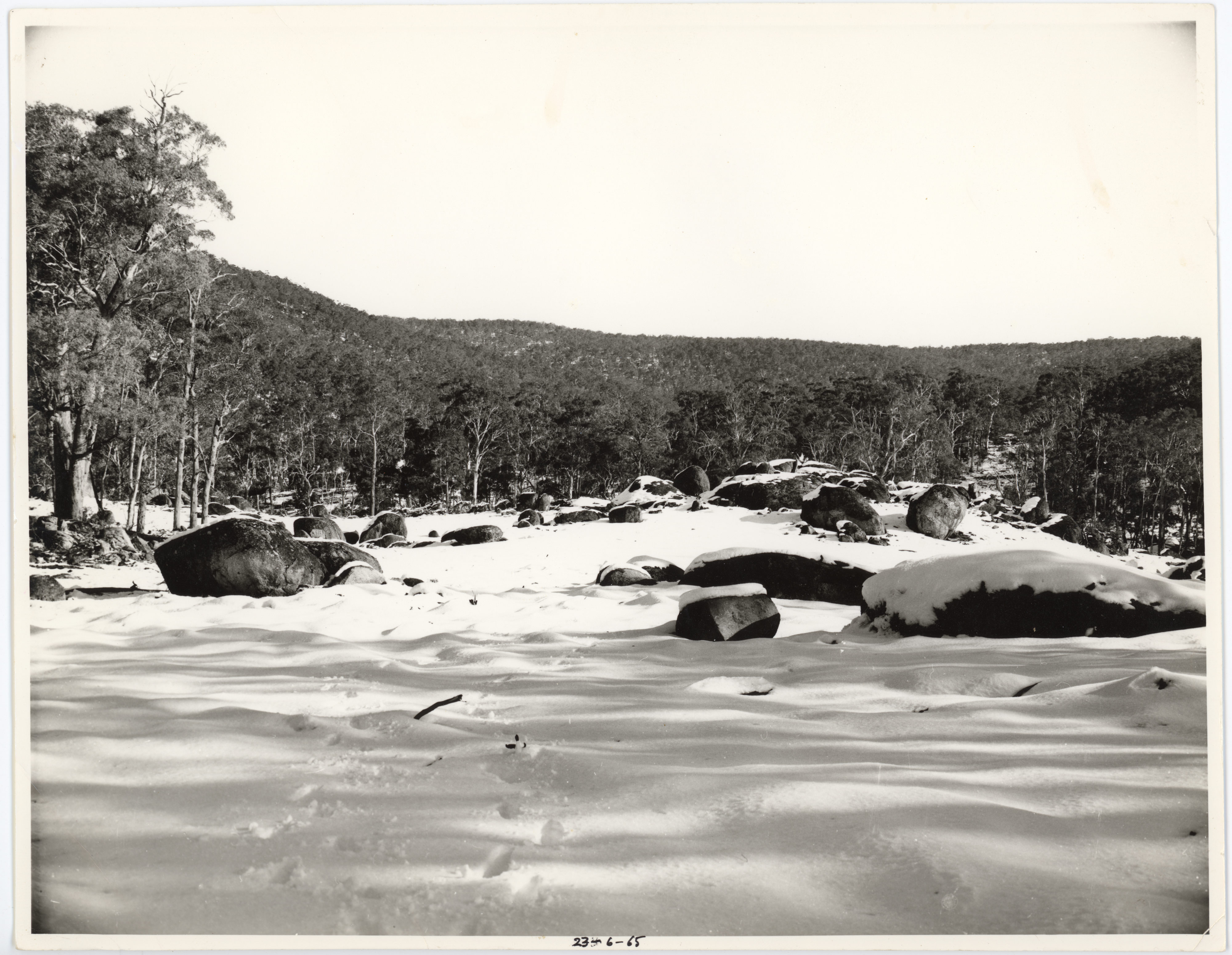
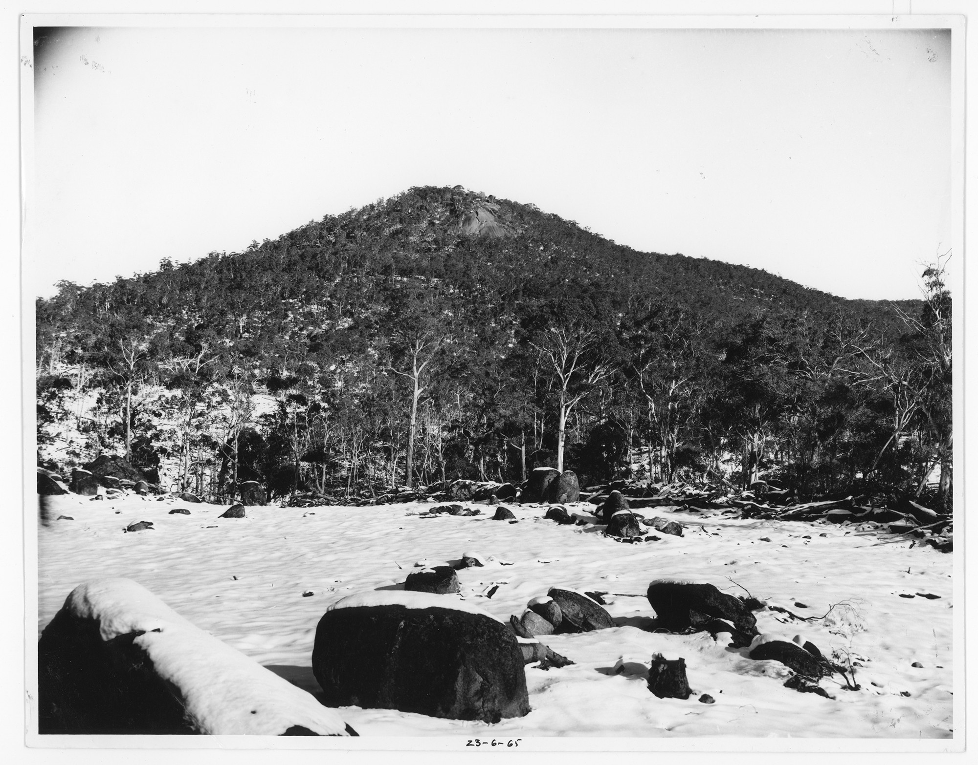
This photo, looking a little to the left of the one above, is dated 23 June 1965, and taken from the future location of the Powerhouse car park.
Preserved by Hamish Lindsay, scanned by Colin Mackellar. |
The
location of the centre of the station antenna – using the Geocentric Datum GDA94 (or
WGS84) reference is –
|
Latitude
35°34' 59.4593" South
Longitude 148° 58' 40.0483" East
Height above mean sea level is 1117.9 metres.
(Data provided to Hamish Lindsay by the Geodesy Unit of
Geoscience Australia.) |
(The original survey figures were – Latitude 35° 35'
05.0566" South, Longitude 148° 58' 35.6815" East based on the
AGD66 datum which was changed to the GDA94 datum on 1 January 2000, and ‘moved’
the station 200 metres to the north east.)
See
this Google
Earth placemark®– which also has the plan of the station
and the Ops building as an overlay. (It’s a 950kb file – with
thanks to Harald Kucharek – and requires Google Earth to be installed
on your computer).
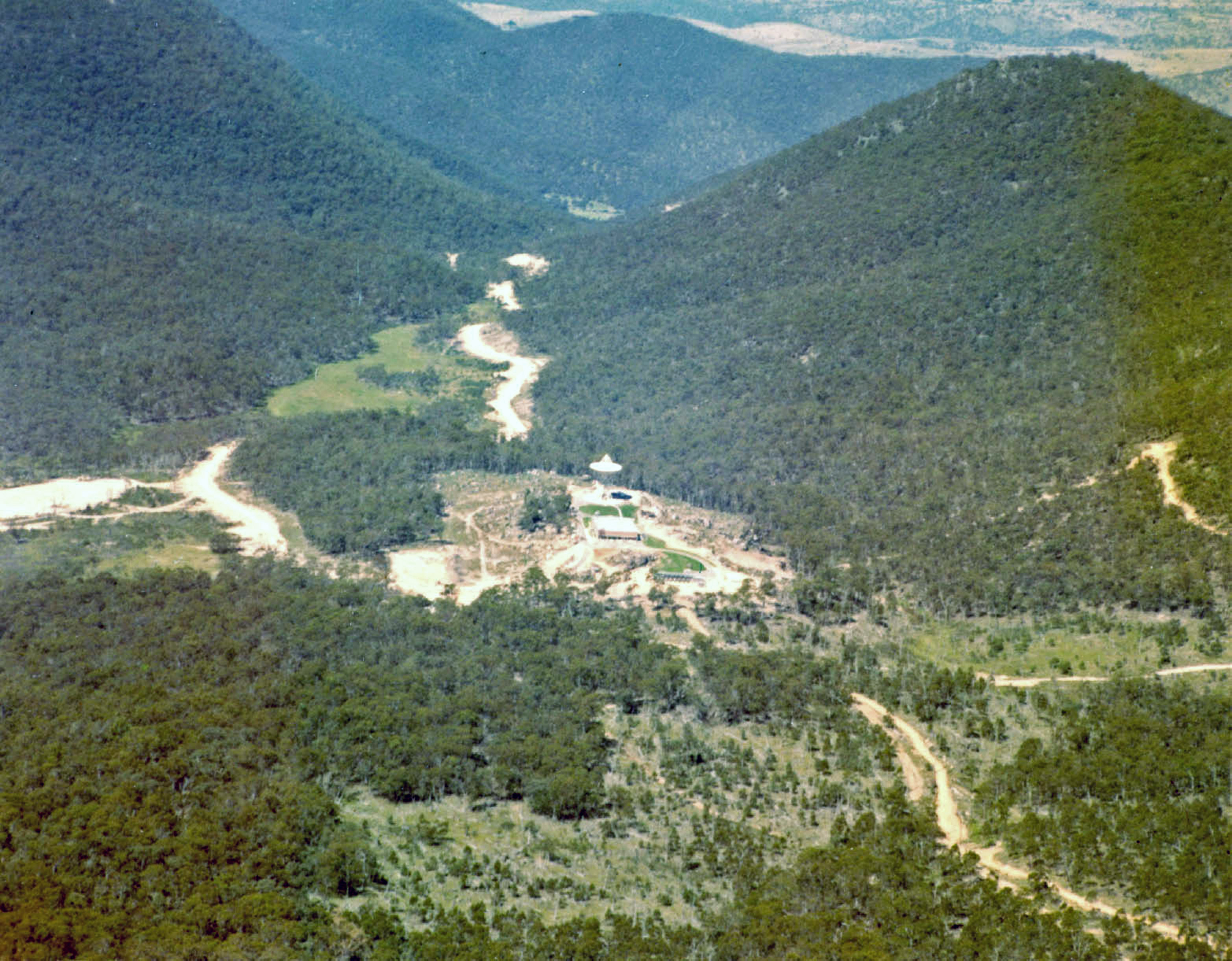
The
site was close enough to Canberra for staff to commute and isolated enough to
be shielded from man-made radio noise. Being surrounded by bushland and native
fauna, Honeysuckle was arguably the most peaceful setting for any NASA tracking
station.
 |
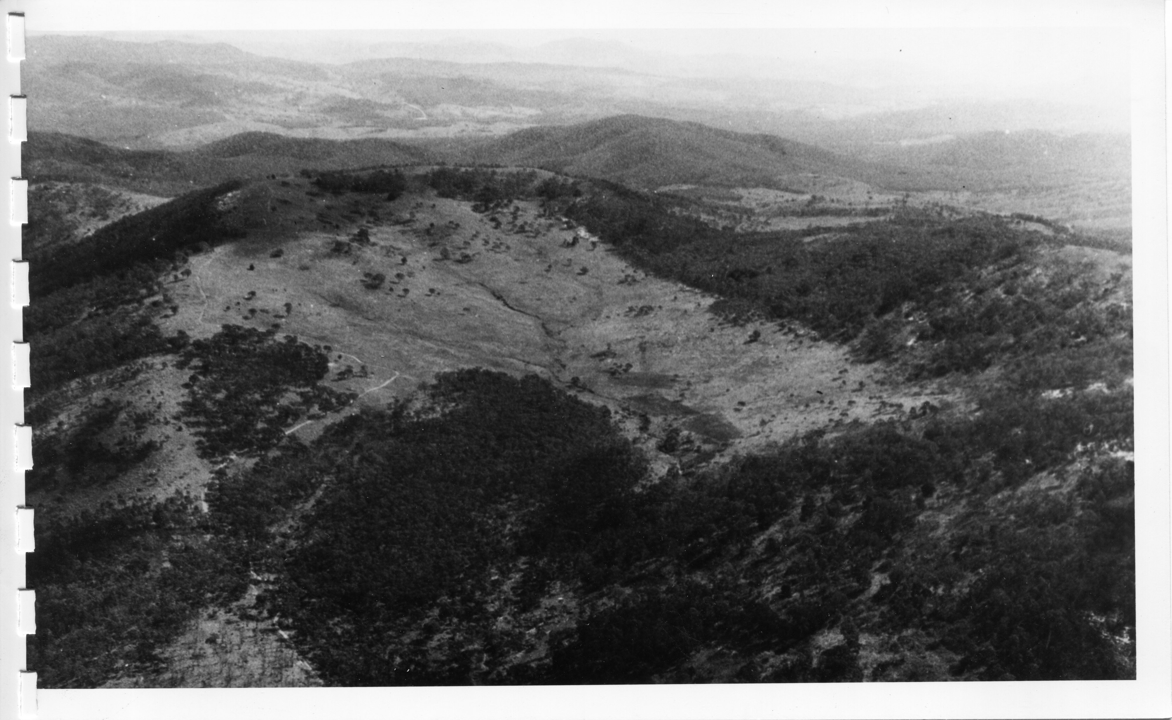
|
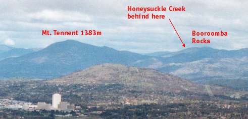
This photo, taken from the Telstra Tower on Black
Mountain in Canberra, gives an idea of both the proximity of Honeysuckle
to the city and also the ruggedness of the terrain of the Australian Alps.
Suburban Woden is in the left
foreground. Mount Taylor is the hill between Woden and the distant mountains.
The devastating bushfires of January 2003 affected a huge area of the
Alps, including Mt. Tennent and the Honeysuckle site – and even came
over Mount Taylor into suburban Canberra.
Photo: Colin Mackellar, October 2003. |
Honeysuckle
Creek was just a mountain ridge away from the Orroral Valley Tracking Station
– built as a STADAN (Satellite Tracking and Data Network) site – which
later played an important role in the Apollo-Soyuz mission. It supported the
Apollo Program through its work with scientific payloads, notably the ALSEP
equipment left in the Moon.
|
|
|
The
Honeysuckle site looking north-east before the road to the station had
been sealed and landscaping finished.
The
sealed road, when it was built, entered from the left.
Photo:
Hamish Lindsay. |
|
|
|
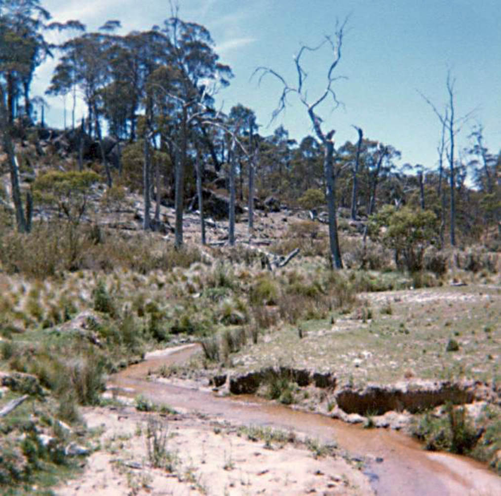
Honeysuckle Creek – the creek after
which the station was named.
Photo taken by Rhelma Lawrence in January 1978. Scan by
Nevil Eyre. |
See also: Early Honeysuckle site visits.